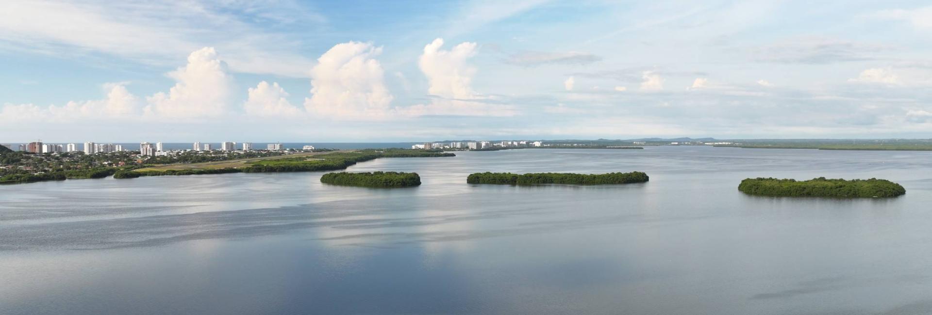
La Ciénaga de la Virgen is Cartagena’s largest coastal lagoon. In turn, it is made up of several channels and lagoons and covers an area of more than 500 square kilometers, giving Cartagena its distinctive character—visible from the air—of being a city essentially built upon bodies of water. Separated from the sea by a sandbar between 400 and 800 meters wide, it has a triangular shape—narrow to the north (along its boundary with Manzanillo del Mar and Tierrabaja) and wide to the south, where it borders a large number of neighborhoods from Olaya Herrera to El Cabrero and Crespo. It is the natural "border" of Cartagena to the northeast of the city.
It hosts abundant vegetation, especially mangrove, beach and scrubland, although there are discontinuous vegetation strips and areas where logging has been evident, leaving its traces. Crossed by the viaduct, the lagoon is navigable, and fishing activities are carried out in certain areas. It has a complex system of urban and rural drainage (extending from Turbaco). It is connected to Cartagena Bay through a network of channels and inland lagoons: Ciénaga Las Quitas; the San Lázaro, Chambacú, and El Cabrero lagoons; and the Bazurto and Juan Angola channels.
It has an artificial outlet to the Caribbean Sea at La Bocana, with a system of floodgates that regulate the inflow and outflow of freshwater and seawater, with the purpose of oxygenating the lagoon’s waters and preserving environmental balance.


- Surface area: 502.45 km2.
- Maximum width: 4.5 km.
- Length: 7 km.
- Average depth: 1.1 meter.